A Street Designed for More Than Getting Through
Use a street design thought experiment to compare routes, seating, play, and local activity, then spot trade-offs before a block’s redesign takes shape.
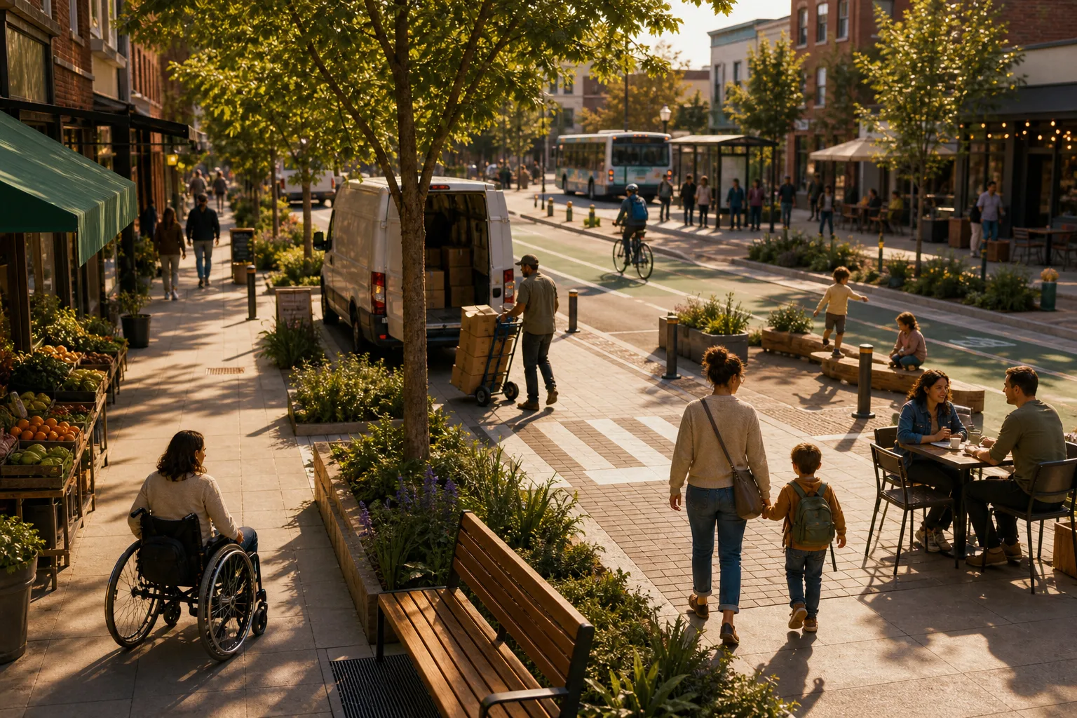
The common mistake in a street redesign is to treat every pause as a blockage and every curb as spare space. The cost is a plan that moves people through but leaves little room to stop, gather, or use a storefront comfortably. A street design thought experiment can make those competing needs visible before a final plan takes shape.
Follow an ordinary week on one specific block: a wheelchair user, a child walking with an adult, a delivery worker, a shopkeeper, and someone who wants to sit outside. Their needs may align in one place and conflict in another. The exercise is not to declare a perfect layout; it is to see who each option serves and what still needs local review.
Start with the people who use the street
Choose a block rather than an abstract avenue: perhaps a neighborhood street with a bus stop, a small grocery, a school route, and homes above ground-floor businesses. Sketch its existing features on paper or in Google My Maps. Mark crossings, driveways, loading doors, trees, benches, entrances, and places where people already gather.
Give each imagined user a concrete reason to be there. A wheelchair user needs a continuous route; a parent and child may need a safe place to pause; a delivery worker needs access to a loading point; a café owner wants customers without an obstructed walking path.
These are design prompts, not claims about actual residents. If you can speak with local people, treat their accounts as essential context. If you cannot, write down your assumptions so others can question them.
Monday maps movement and access
Trace where people and vehicles need to go. Draw the walking route, any cycle route, access to transit, and the places vehicles need to load or reach driveways. Mark indirect crossings and spots where someone using a mobility device might be pushed into the street.
Imagine a block where a delivery van stops beside a grocery entrance and bus riders pass through the same narrow stretch. In a sketch, place a proposed loading bay near the entrance and draw a continuous walking route past it. The drawing should reveal whether the two uses appear to fit; it cannot establish that the arrangement is safe or permitted, so flag visibility, access, and local rules for review by the appropriate city staff.
Movement does not have to mean speed. A layout might slow turning vehicles, make a crossing more direct, or give cyclists a clearer line. Record whose journey becomes easier and whose becomes less direct.
Tuesday compares three possible layouts
Draw three rough versions of the same block, using the same users and features in each. Rectangles can stand for seating, lines for routes, and notes for trees, loading, and play. These are scenarios, not construction drawings.
- Clear-route layout: Draw an uninterrupted walking path beside storefronts, with seating and planters in a separate furnishing zone and marked loading places. If the route remains clear in the drawing, keep this option in consideration; if the block has too little room for both the route and furnishings, remove or relocate furnishings and note the trade-off.
- Shared-center layout: Draw a slow shared area in the block’s center, with limited vehicle access and several crossing points. If users can identify a predictable path and clear boundaries, keep exploring it; if the open space seems confusing or leaves a user without a protected route, add clearer edges or compare another layout.
- Edge-activity layout: Draw benches, café tables, small play elements, and planting along one edge while leaving a central route open. If the activity fits without narrowing access or favoring only one frontage, retain it as an option; if one side is crowded or neglected, redistribute the activity or reconsider the arrangement.
For each drawing, consider a busy moment as well as a quiet one. Mark where a stroller could turn, where a delivery cart might wait, and whether someone can sit without being placed directly in a stream of movement.
Wednesday adds places to sit and play
Give the street two kinds of pause: a brief stop and a longer stay. A seat near a bus stop serves someone waiting; a small table near a shop supports conversation. Include seating with a backrest and space beside it for a wheelchair, rather than treating every resting place as interchangeable.
Play can be modest: painted ground patterns, a low balance feature, or an open patch. On the drawing, keep these away from the accessible route and loading area; if there is no clear separation, move the play feature or leave it out of that scenario.
Mark shade, sightlines, and the relationship between seating and moving traffic. If a planter hides a bench from view, shift one or the other; if seating beside a storefront would crowd its entrance, relocate it and mark the remaining trade-off.
Thursday checks local activity and constraints
Walk through the imagined street at school arrival, lunchtime, delivery periods, and early evening. For each moment, note who arrives, what they carry, and what they need to do. A design that accommodates lunchtime tables still needs to show a clear route and a workable place for service vehicles.
Check less visible requirements too: emergency access, waste collection, and sightlines at crossings. If the sketch appears to obstruct any of these, mark the conflict rather than resolving it by guesswork. City transportation staff, accessibility specialists, emergency services, and other relevant local professionals should review feasibility, safety, and legal requirements.
Say a shopkeeper wants outdoor tables beside an apartment entrance. In an invented scenario, the starting sketch places two tables across the entrance path; the designer moves them to a proposed edge zone and draws the entrance route separately. The resulting drawing shows customers with a place to sit and residents with a direct route, but that is only a design possibility—not evidence of safe or legal access. The actual placement would need review against local requirements, and the sketch should also show who maintains the tables and where they go when removed.
Friday compares trade-offs and open questions
Use the same checks on all three layouts. For each item, record whether the drawing looks workable, uncertain, or in conflict, then choose what to do next based on the result.
- If the wheelchair route appears continuous and free of furniture, keep the layout for review; if it breaks or narrows, move the objects or reject that version.
- If children can pause without entering a vehicle path, retain the play area for discussion; if they cannot, relocate it or remove it from the scenario.
- If someone can find a suitable place for a brief rest and a longer visit, keep both seating options; if one is missing, add or reposition seating and check the route again.
- If deliveries have a place that does not take over the walking route, mark that arrangement for local review; if not, test a different loading location or timing and note the access trade-off.
- If residents and businesses can reach their entrances without one use crowding out another, keep the layout in consideration; if an entrance is blocked, shift the activity or revise the design.
- If the drawing preserves visibility at crossings and provides a comfortable route to cross, flag it for professional review; if sightlines or crossings appear compromised, move the obstruction or rethink the crossing.
- If the sketch accounts for emergency access and waste collection, send those details to the relevant local staff; if either remains unresolved, mark the layout incomplete rather than assuming access will work.
Choose the option that makes the fewest important needs invisible, not the one with the most features. Write down unresolved conflicts, such as delivery timing versus outdoor seating, and identify what local information or professional review could clarify each one.
Saturday gathers reactions and Sunday revises
Share the sketches with people who use the block in different ways. A printed map at a library table or a neighborhood meeting gives them a place to mark where they would walk, wait, sit, or avoid. Ask them to challenge the assumptions as well as the layouts; someone may point out that a proposed bench blocks a familiar route or that a loading point serves several entrances.
On Sunday, revise one drawing and keep the alternatives visible. Add a note beside each change explaining which need prompted it and what conflict remains. Treat this as a clearer question for discussion, not as a settled plan.
Which street design questions help resolve trade-offs?
How can a street serve people moving through and people staying?
Draw the clearest route separately from places for pausing, while keeping them connected. If seating, play, or business activity intrudes on access, move it; if the route makes staying feel unwelcome, revise the locations and compare the trade-offs.
What is the difference between a shared street and a pedestrian-priority street?
A shared street asks different users to negotiate space within a common area, while a pedestrian-priority design gives walking a more defined path. If local access and user needs suit a shared area, explore its boundaries and rules; if people need a more predictable protected route, compare a pedestrian-priority layout with local professionals.
How should a street design thought experiment handle accessibility?
Start by drawing a continuous route, places to rest, crossings, and building entrances. If any part depends on weaving around furniture or entering a vehicle path, revise the scenario and ask affected residents and accessibility professionals to review the details.
What should happen when users’ needs conflict?
Mark the conflict on the drawing and name who bears the burden under each option. Then test a change in placement or timing; if access, safety, or legal requirements remain uncertain, leave the issue open for qualified local review.
A street design thought experiment is most useful when it leaves a clear record of what changed and why. Keep the marked alternatives and unresolved questions together so the next conversation can focus on the specific decisions that still need local knowledge.